PSOS Floating Classroom
This fall, the PlymouthSchools Oceanographic Studies (PSOS) team conducted floating classroom trips for groups of students. Come along and take a look through a floating classroom journal! |
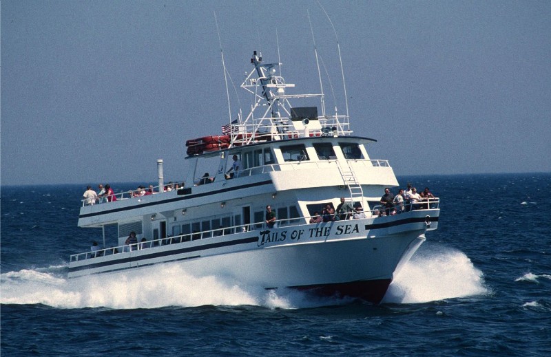
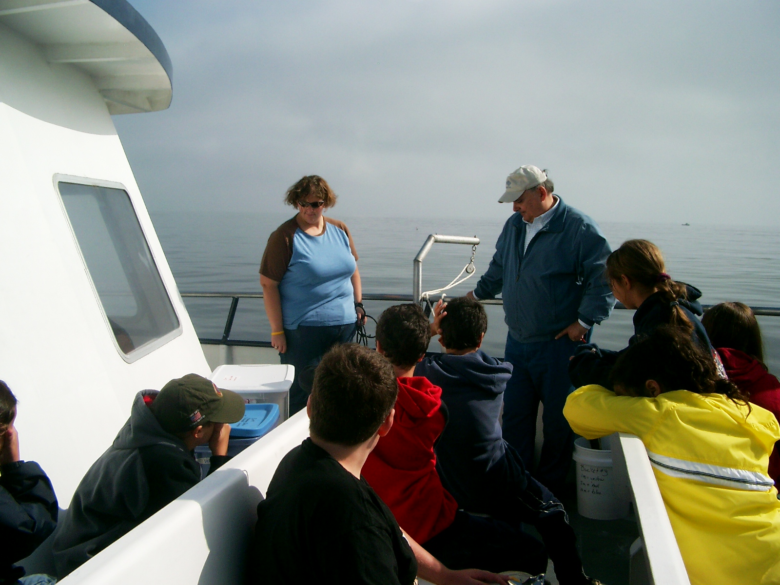
Each floating classroom trip was 4 hours long (9 AM- 1 PM) and was conducted aboard the Capt. John Boats operating out of Plymouth, Mass. These boats are 80 to 100 feet in length and have both an upper deck and a lower deck with a heated and enclosed cabin. |
 |
 |
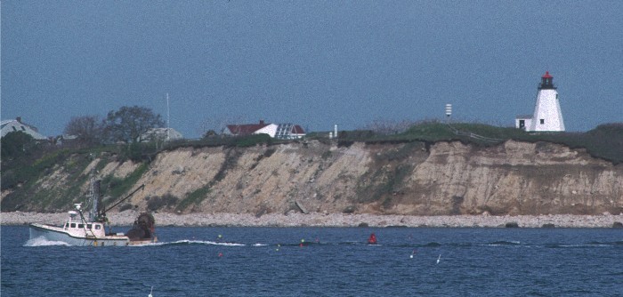
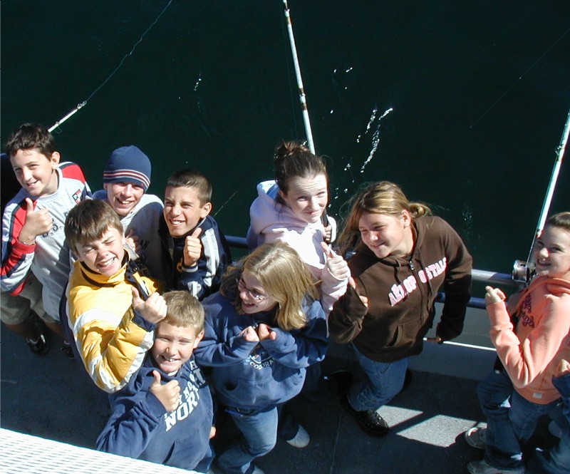
With 60 people onboard, including students, teachers, scientists, crew members and instructors, the trip began as we headed through historic Plymouth Harbor. As the boat moved through the harbor, the science teacher from Plymouth Public Schools led the students on a marine scavenger hunt where they learned about historic points of interest in Plymouth Harbor as well as observed and documented examples of coastal erosion caused by the action of wind and waves. |
 |
 |
 |
|
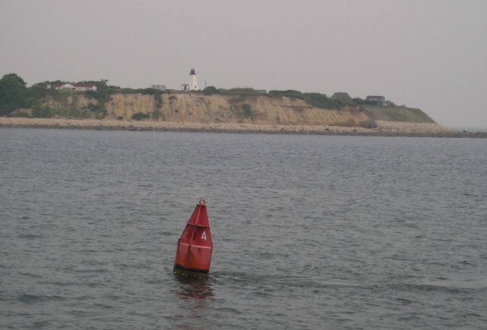 |
Once we passed Gurnet Point, which marks the mouth of Plymouth Harbor, the boat traveled a few miles offshore as instructors and scientists prepared to conduct a plankton tow. |
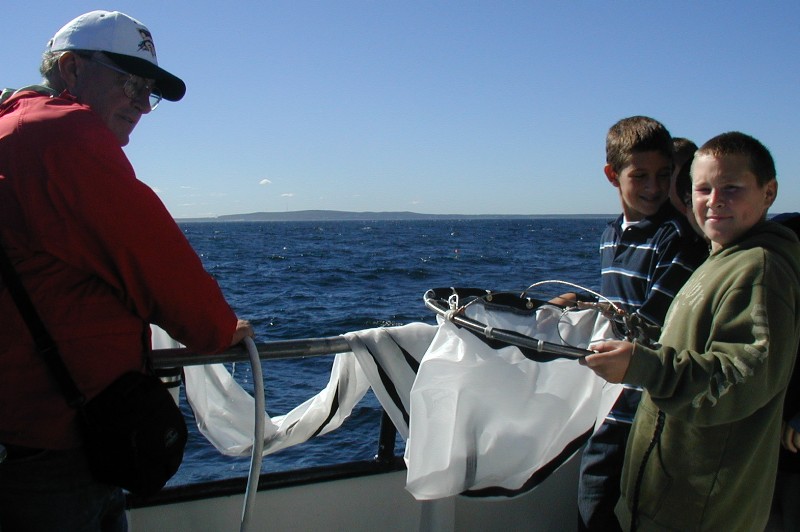
On the Captain's signal, the plankton net was deployed off the stern of the vessel and towed for just a few minutes. |
 |
 |
|
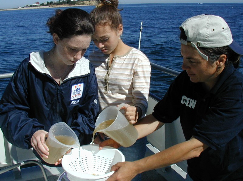
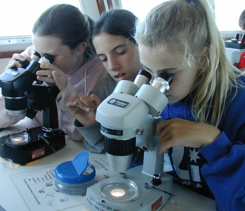
| Phytoplankton and zooplankton collected in this tow were examined onboard at one of the stations through the use of stereo-microscopes. A sub-sample of this tow was set aside to be taken back to the classroom so that students and teachers can observe the specimens in more detail. Specific tow information was provided to teachers so that they can determine the volume of water that was sampled by the tow and can use this information to determine the number of organisms in the column of water sampled. |  |
 |
 |
 |
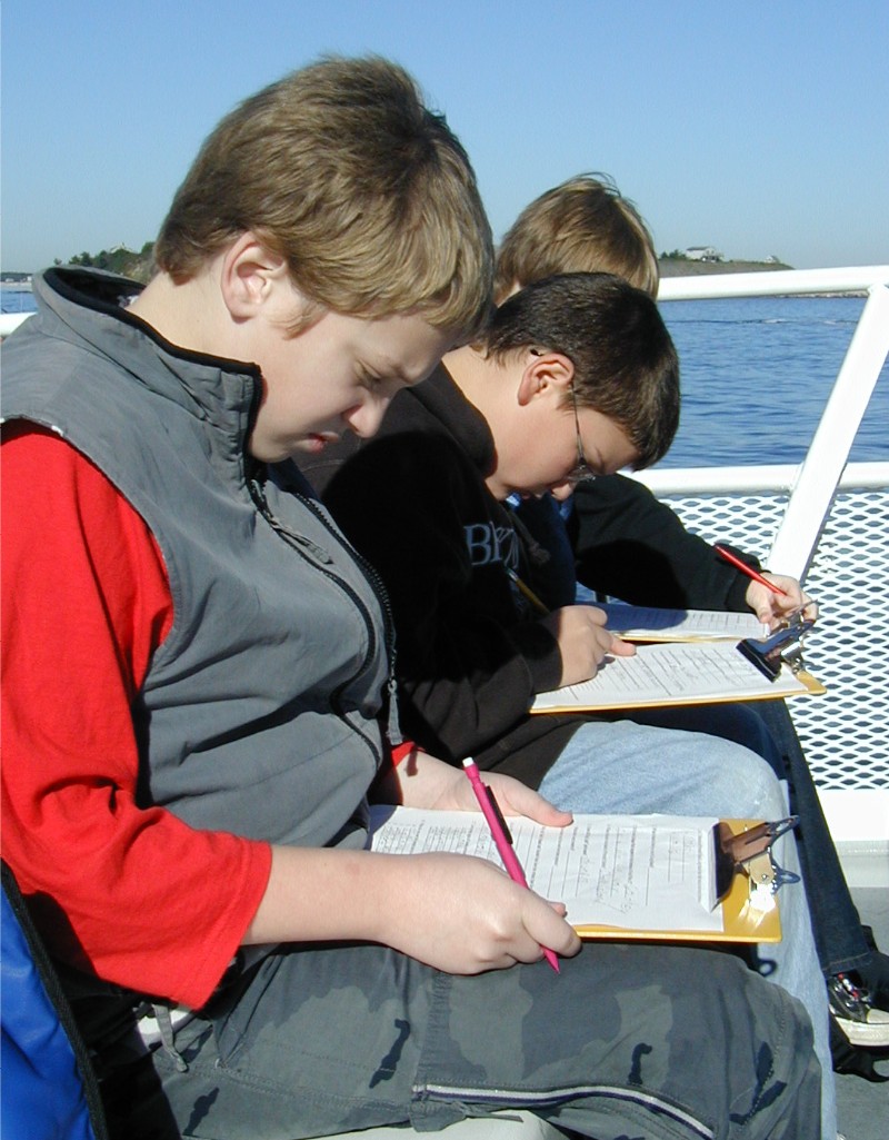
After the plankton tow was completed and the vessel anchored, students split up into five different groups and went to their first station assignment. Students were further split into teams of two, in which one was the data recorder. They have a chance to switch roles as they rotated through all five stations: Navigation, Fishing, Plankton Observation, Water Quality and Benthic/Meteorology. |
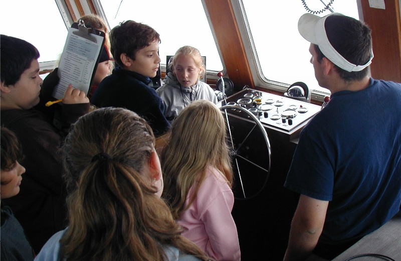
| Each station was located in a different area of the boat. The Navigation station was conducted in the wheelhouse located on the upper deck. Here the Captain of the ship instructed the students on different types of navigational equipment onboard the vessel and their use in navigation while offshore. The Captain also discussed the use of the ship's compass; students used this compass to record the direction of the wind, waves and swell activity offshore. | 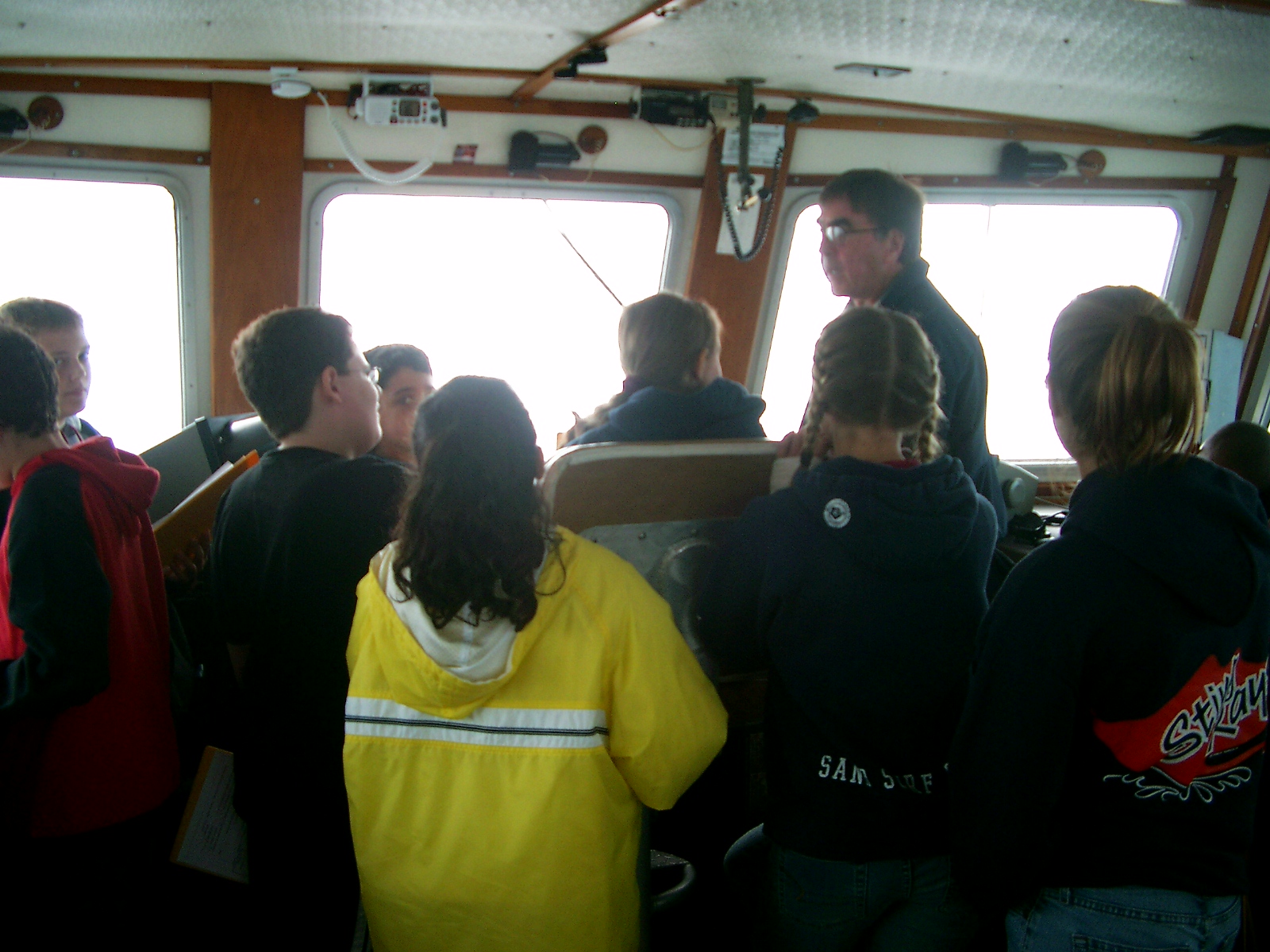 |
 |
 |
 |
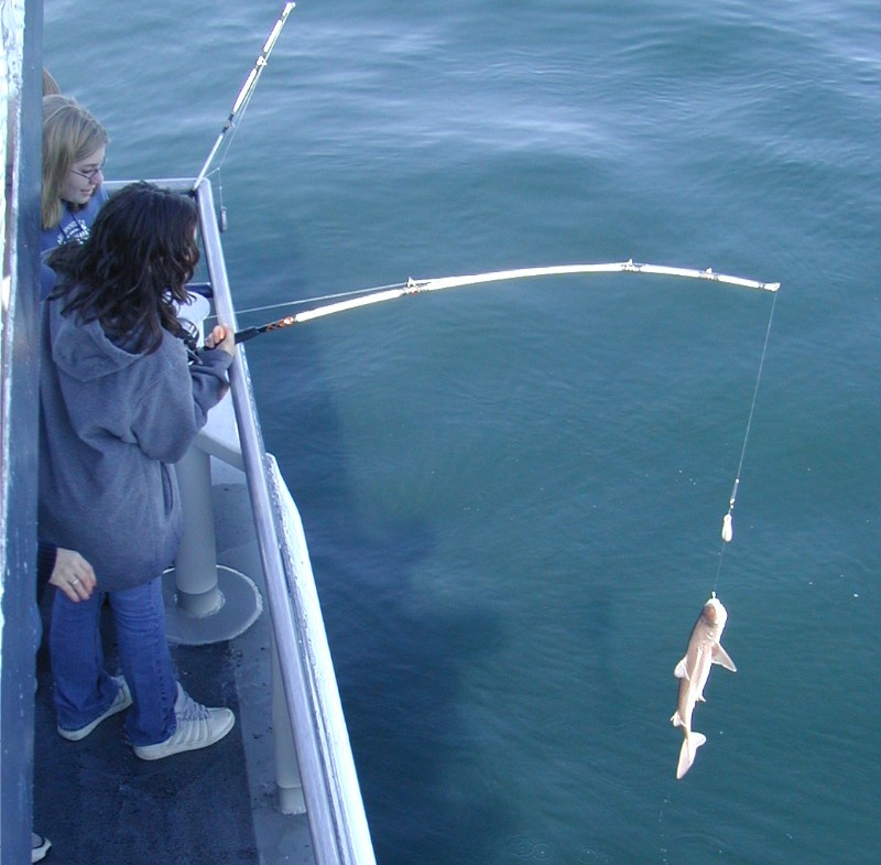
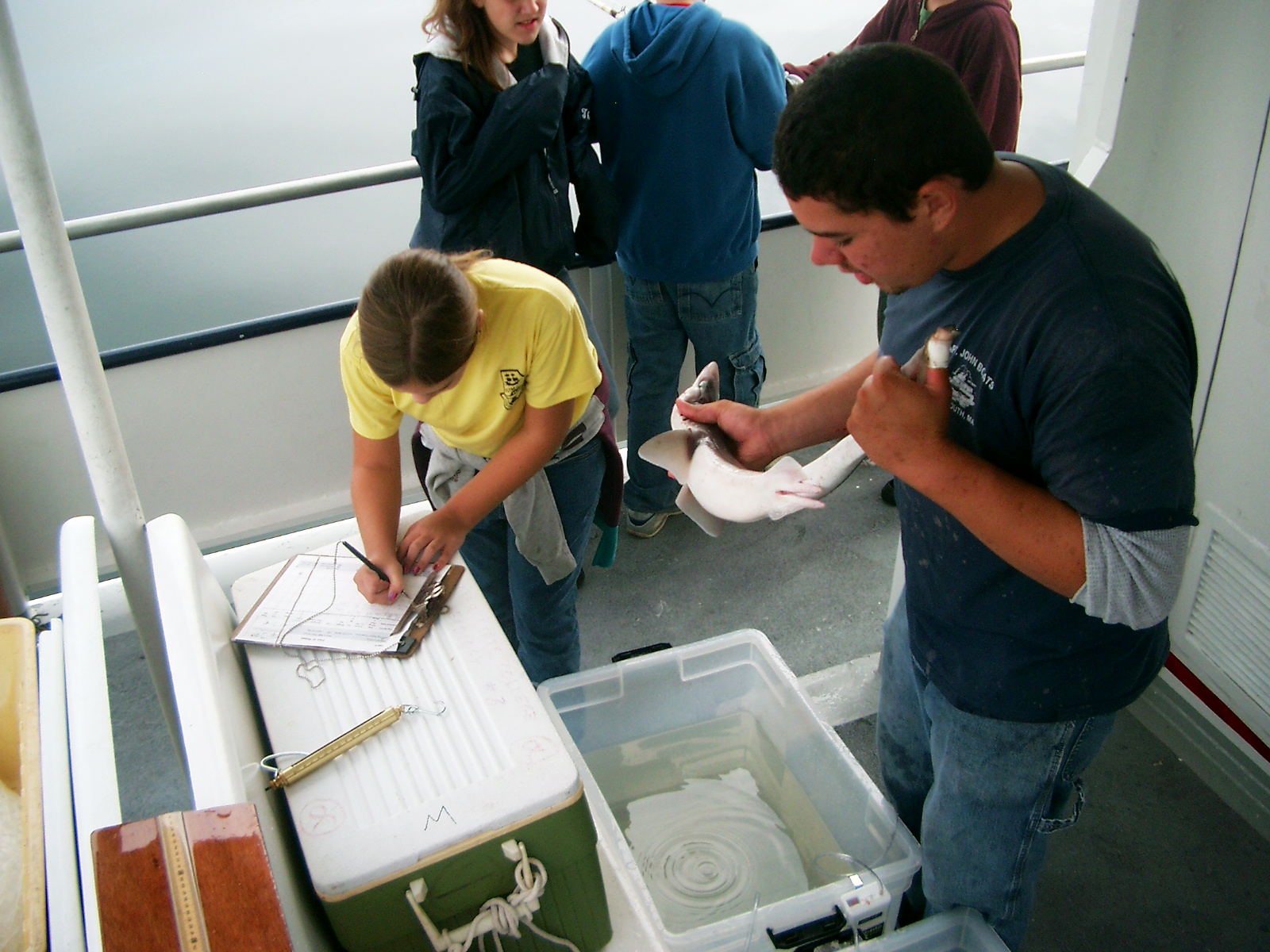
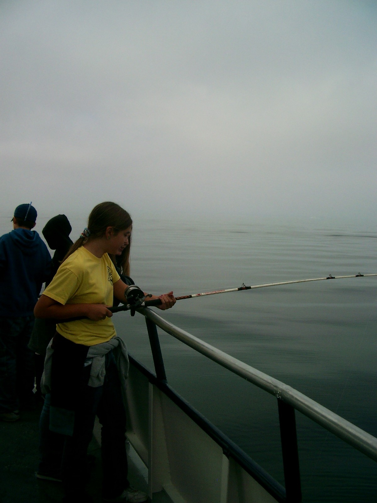
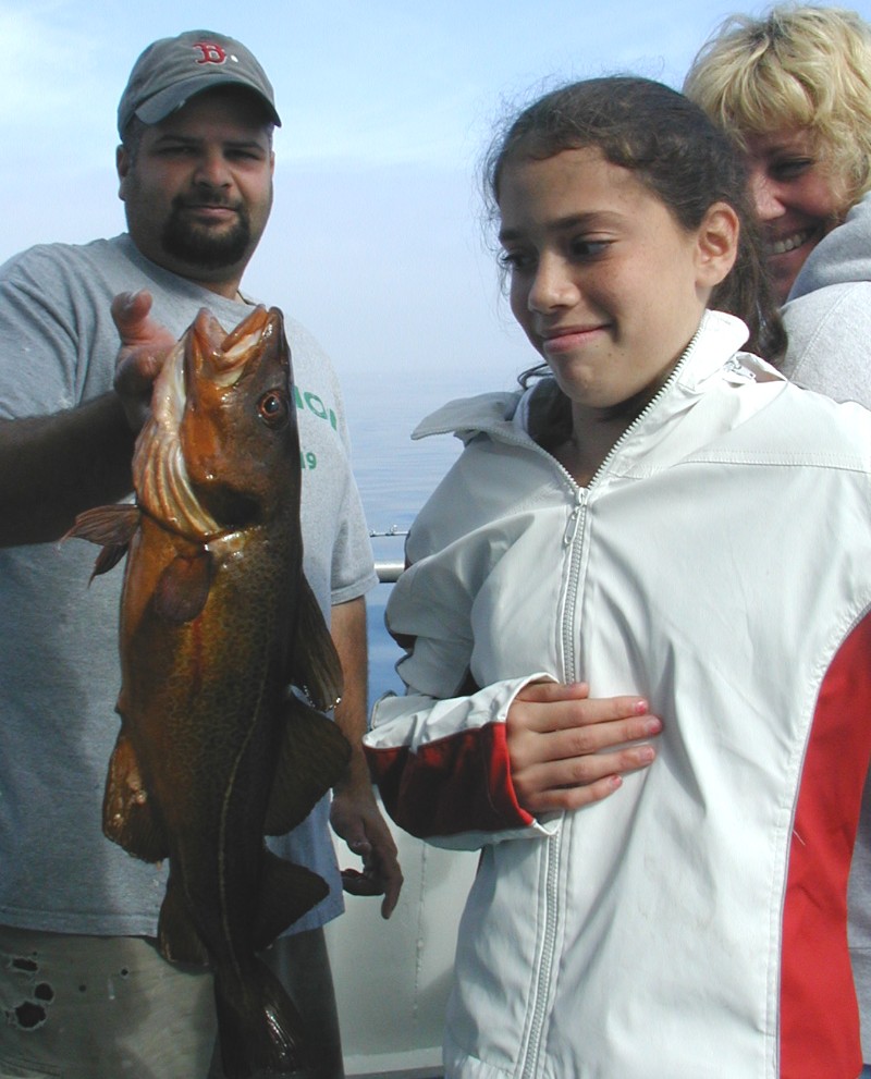
On the lower deck in the stern was the Fishing Station. Students were provided with rods that were baited and ready to go. Crew members were present to help students retrieve the fish they caught and to collect data on each specimen pulled onboard. |
 |
|
 |
 |
 |
Temporary holding tanks allowed students to observe their catch more closely, which included spiny dogfish, cod and sea robins. |
 |
|
 |
 |
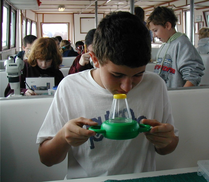
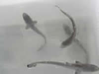
| When students arrived at the Plankton Observation station they observed the plankton that was collected from the plankton tow. Diatoms, dinoflagellates, copepods, jellyfish, fish larvae and other types of plankton can be observed and recorded on student data sheets. | 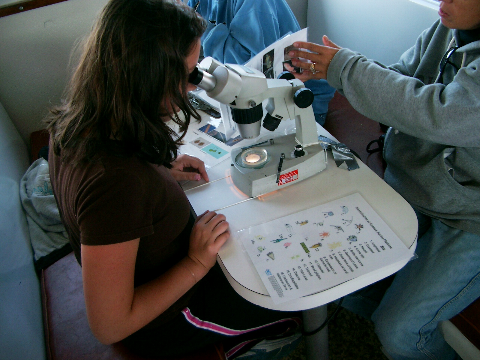 |
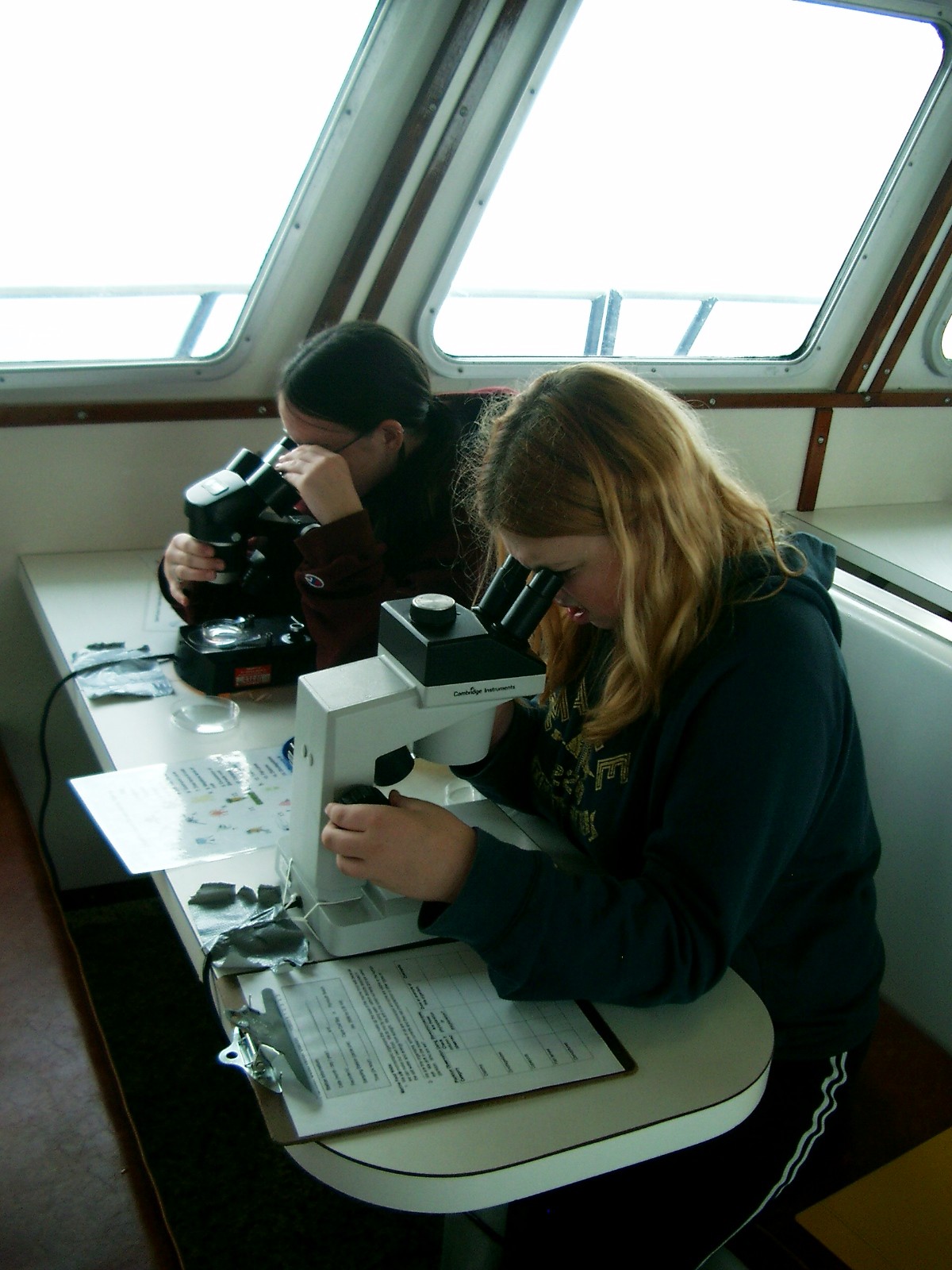 |
Identifying the plankton was made easier by using Juanita Urban-Rich’s plankton key. Through plankton observation students learned about the marine food web and how complex these interactions are offshore. |
 |
|
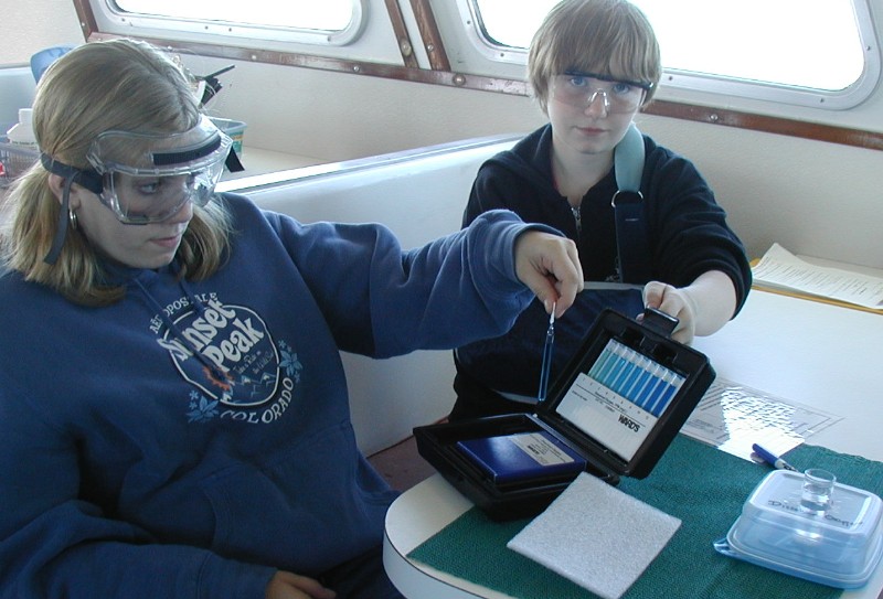 |
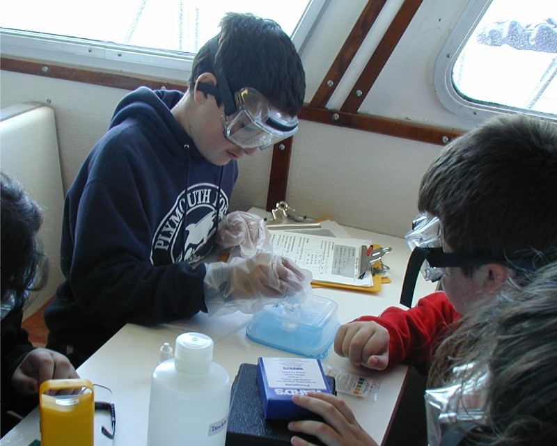
Also in the cabin was the Water Quality Station where students tested both surface and bottom water samples for specific substances, such as nitrate, ammonia, dissolved oxygen and phosphate. They also measured water temperature and pH, recording all data on their student data sheets. |
| Outside on the bow of the boat is the Benthic/Meteorology Station. Here students and instructors used a variety of equipment to obtain bottom samples and to observe certain meteorology features offshore. A Ponar Grab was used to obtain a benthic or bottom sample of mud or gravel. This sample was then taken back to the classroom for more in-depth analysis and observation. | 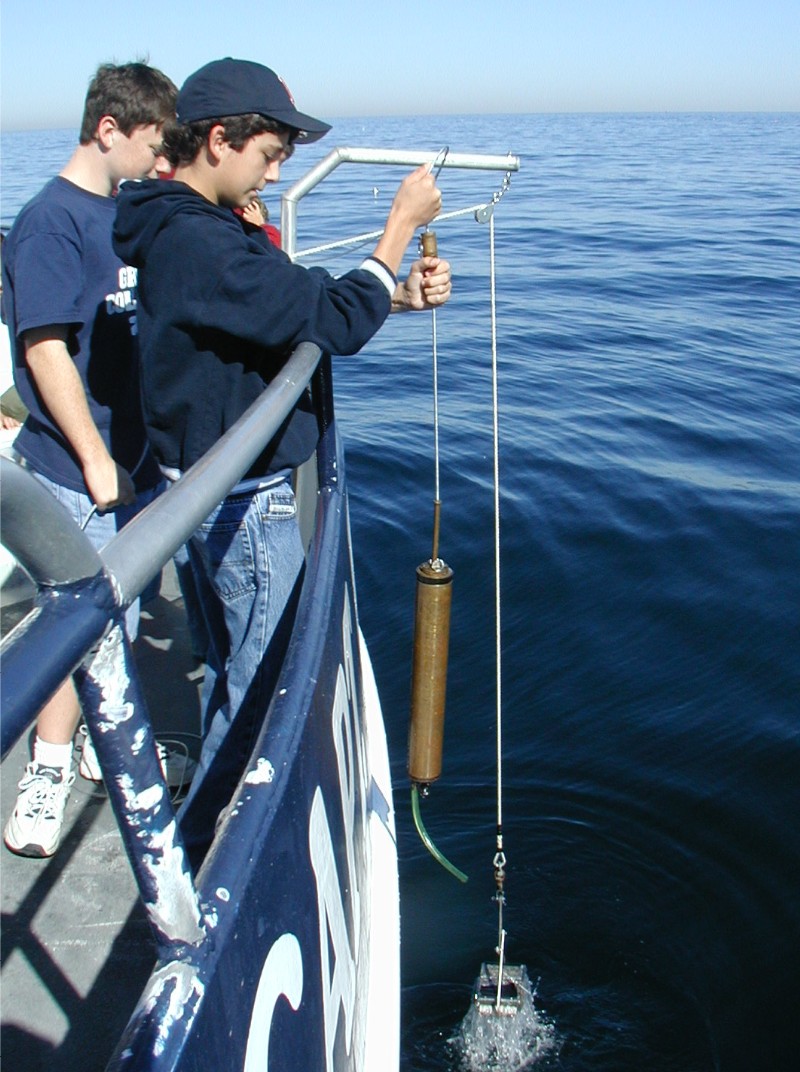 |
 |
|
 |
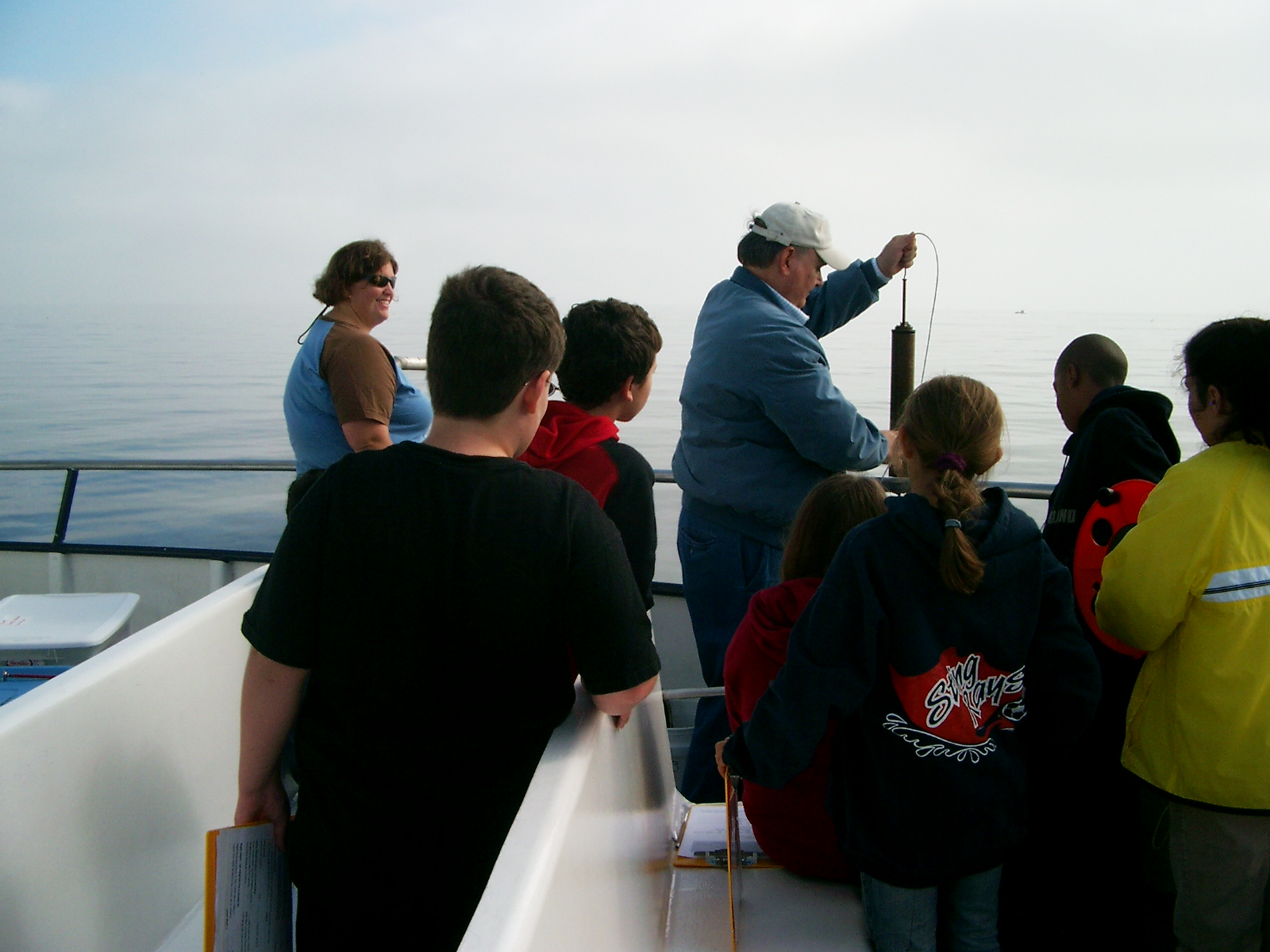 |
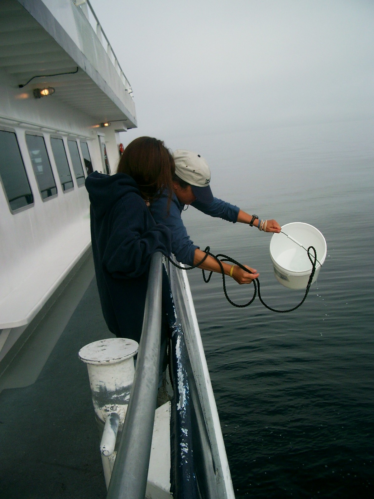
| Students were also able to obtain a sample of water close to the seafloor by using a bottom water sampling device. This allowed them to compare water temperatures at the surface with those at the bottom of the water column. (It also provided the sample used and tested at the Water Quality Station.) | |
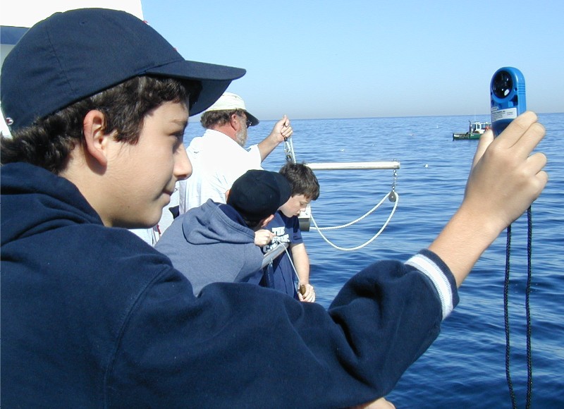
| Students determined the depth of water beneath the boat using an old-fashioned device called a sounding line. Students also determined the water's turbidity by deploying a secchi disk over the side of the boat and taking a series of measurements. Meteorological features were observed and recorded, including wind speed, air temperature and water temperature, both surface and bottom. | 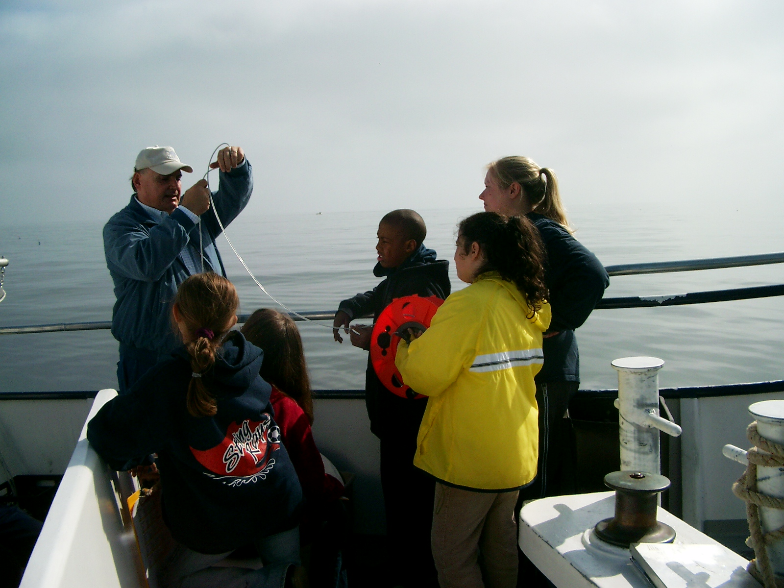 |
| Students, teachers and instructors took a break for lunch after the third rotation. When all rotations were complete, the anchor was retrieved and the boat headed back to the dock. Students and teachers departed with large quantities of data recorded on their data sheets and with samples of both water and bottom materials that can be looked at and analyzed further when back in the classroom. | 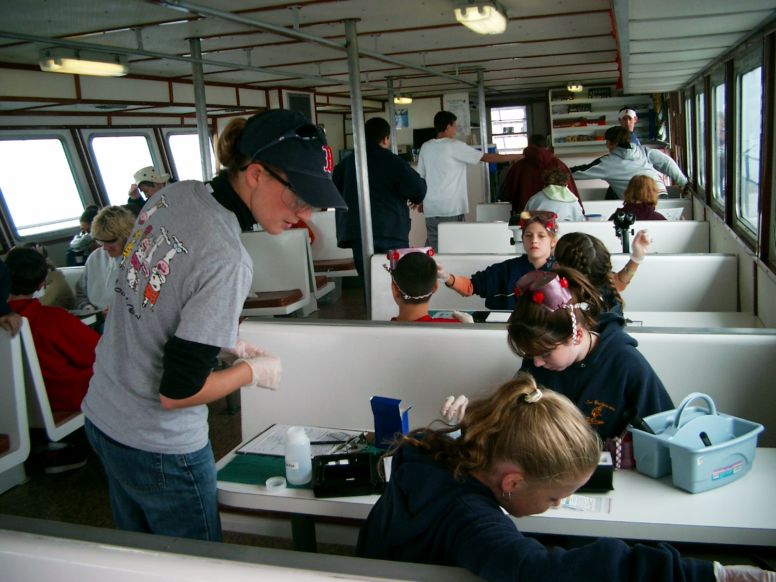 |
 |
Scientist Sara Grady, a benthic ecology specialist and watershed ecologist with the North and South Rivers Watershed Association, assisted at the Meteorology station. ``I have a great interest in communicating science to the general public,’’ said Sara. ``It’s great to work with kids, to do science with people who still have a sense of wonder. What we are doing might make them want to be a scientist - they're not just learning what they have to for standardized testing. These boat trips are lots of fun, and I’m looking forward to more of them. It’s amazing that the Plymouth school system allows this to happen!’ |
| -text by Krill Carson |